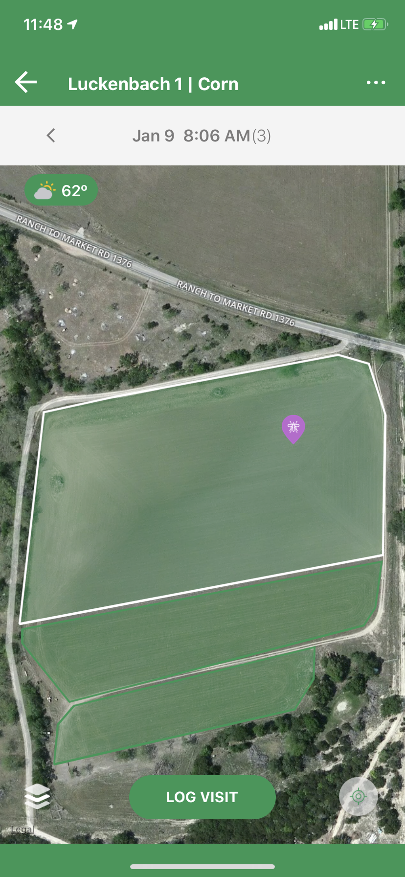
Farm Dog relies on third parties to provide the standard aerial imagery you see in the maps view. Sometimes there is a discrepancy between what our imagery providers show and your reality on the ground. If you find that the field map is showing you something quite outdated, try to switch imagery providers in your settings tab.
To do this,
- Go to Settings
- Toggle between the different "Default Satellite Provider" option - either Google Maps or Mapbox - to see which option is best in your area.
For example, the two show quite a difference in one of Farm Dog's demo fields.
From Google Maps From Mapbox